BIOMETRICA SPA

Measurement with no hidden assumptions.
Decisions with backing.

Inventory, biomass and carbon from field measurements, LiDAR and satellite images, with documented methods and every figure accompanied by its uncertainty.

We measure, model,
explain.

At Biometrica we put numbers on forests. We combine field measurements, LiDAR (laser scanning) and satellite images to find out how much wood, biomass and carbon there is, how it grows, what has changed and how reliable those figures are.

We work remotely, in any country, with landowners, companies, consultants and institutions. Every result comes with its method and documented assumptions.

Tools to understand
the forest.

Quantification and inventory

We process your forest inventory and turn it into standing-stock figures and maps.

  • Processing of measurement plots
  • Volume, biomass and structure of each forest sector
  • Thematic and stand maps
  • Analysis with LiDAR and satellite images
Request a quote

Biomass and carbon

We estimate how much biomass and carbon your forest holds, with continuous maps and their margin of error.

  • Aboveground biomass, by sector and as a continuous map
  • Stored carbon and how it changes over time
  • Calibration and validation with field measurements
  • Quantification for baselines and tracking
Request a quote

Change monitoring

We detect harvests, damage and recovery using satellite image time series.

  • Vegetation trends year by year
  • Damage alerts for wind, pests or fire
  • Change maps between inventory campaigns
  • Restoration and rehabilitation tracking
Request a quote

Projection and modelling

We estimate how your forest will evolve so you can anticipate volumes and compare scenarios.

  • Growth and yield projections
  • Growth and mortality models
  • Management and thinning simulation
  • Site productivity (site index)
Request a quote
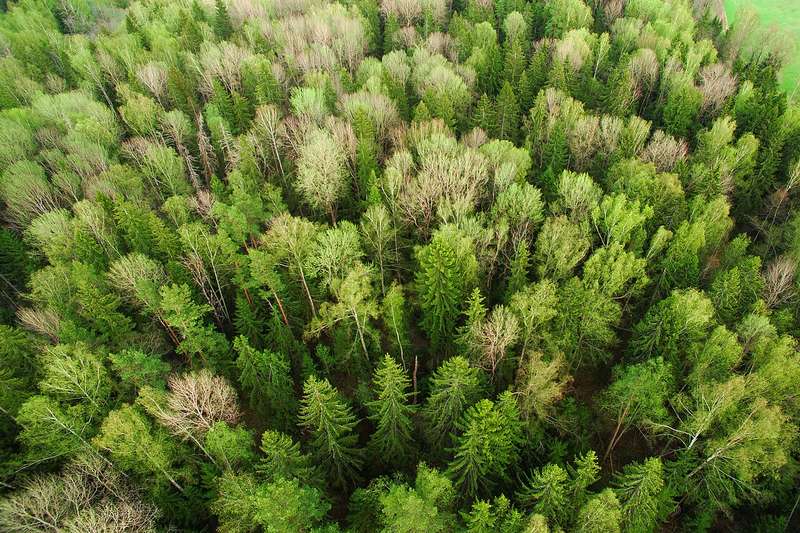
Aerial view of a forest

Scheduling and planning

We organise the information into a management plan: what to intervene, when, and with what expected outcome.

  • Harvest scheduling and yearly volumes
  • Management scenario comparison
  • Production and stock targets
Request a quote
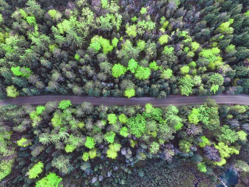
Aerial view of a forest crossed by a road

Regulation and compliance

Technical support to meet the forest regulations of the country where your project operates.

  • Technical support for management plans
  • Technical documentation for forest authorities
  • Review of requirements, deadlines and standards
Ask about this service

A short process,
a method in plain sight.

  1. We talkWe understand your goal and what data you have. We reply with scope, timeline and price.
  2. We review and gather dataWe check your data and look for existing information, satellite or other, to integrate it. Free sources cost nothing extra; paid ones or new capture are quoted beforehand.
  3. We process and modelWe apply the agreed method and calibrate it with your field measurements.
  4. We deliver and explainReport, tables and maps with assumptions and uncertainty. We answer your questions.

What we are
building.

In development

Continuous forest updating

A system that corrects the inventory with new satellite and LiDAR observations, and shows the uncertainty of each sector.

In development

Productivity maps

Spatial estimation of site productivity combining historical inventories, LiDAR, climate, soil and topography.

In development

Inventory processor

A reproducible tool, written in Python, to calculate volumes and product assortments from measurement data.

Exploring

Environment-based height models

Growth models that include climate and soil to better project stand height.

Coming soon

Coming soon

Camera traps

You upload your images and receive the results: which species appear, when and how often, with their confidence level.

Coming soon

Species distribution and habitat

Maps showing where each species is most likely to occur and which forest and environmental conditions favour it. Built from presence records, LiDAR, imagery and environmental variables.

Coming soon

Drone imagery platform

A platform to process drone images and generate reports for forestry operations, such as harvesting, planting and roads.

Work in progress: scope and timelines may change. Interested in learning more or trying it? Write to us.

If you make decisions
about forests.

Before you
write to us.

What data do I need to get started?

Your plot measurements (Excel or CSV) and, if available, the property boundaries (shapefile, KML or GeoPackage). If something is missing, we look for existing information to fill the gap.

What do I receive?

A report with the methodology and results, data tables and, where applicable, digital maps. Everything with documented assumptions.

Which countries do you work in?

Work is done remotely from your data, so we can take projects in any country, region or species. For regulatory work, we first confirm the local requirements that apply.

Which languages do you work in?

We work in Spanish and English, for both communication and reports. This site is also available in Portuguese.

Is my data confidential?

Yes. Data is used only for your project and is not shared with third parties. We can sign a non-disclosure agreement if you need one.

Do you certify or verify carbon credits?

No. We quantify biomass and carbon with a documented method and its uncertainty. We do not certify or validate projects, but our figures can feed into the work of whoever does.

How long does it take and what does it cost?

It depends on data volume and scope. Paid sources and new data capture are quoted separately. Tell us your case and we will send a proposal with a timeline.

Have a forest
challenge?

By submitting, you agree that we use this data to reply to your enquiry. More in the privacy policy.

Or write to us directly at